Day 35: Salmon, ID – Spring Gulch Campground, MT

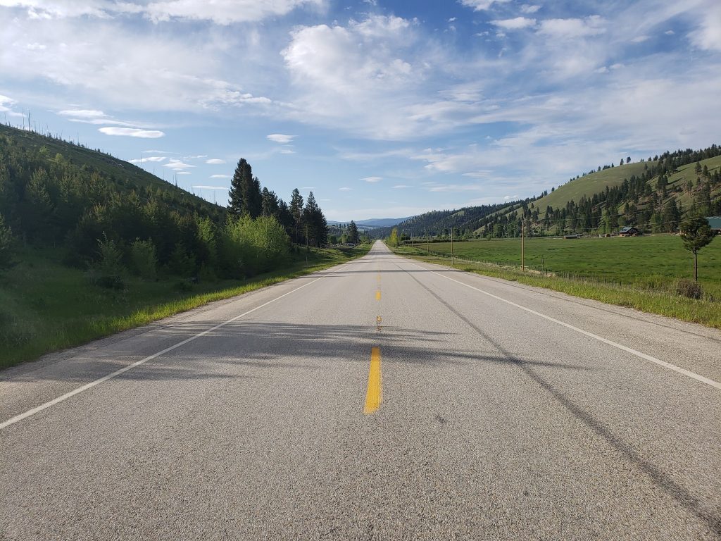
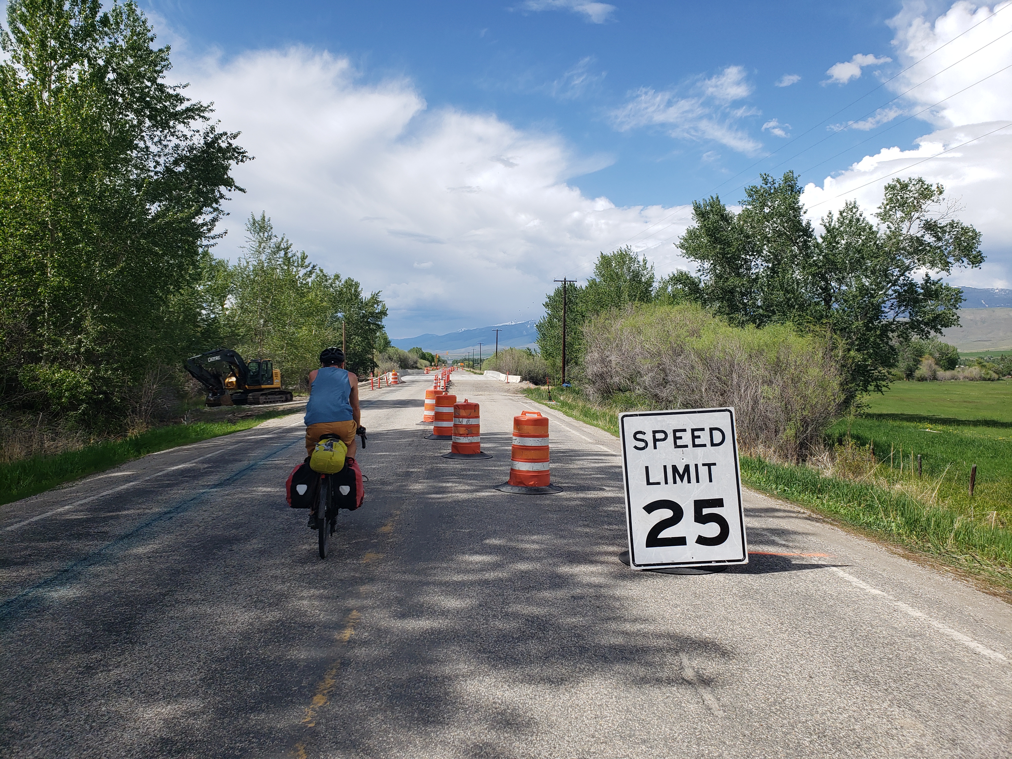
More sun! After a morning of making arrangements for a bike tune-up in Missoula we headed north on highway 93. The shoulder was an immediate disappointment – only 6 to 12 inches wide with much higher traffic volumes than yesterday.

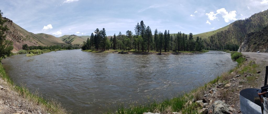
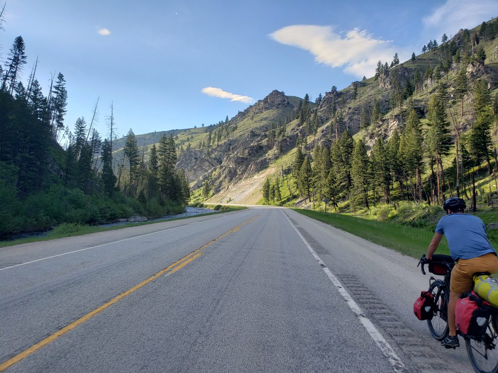
The road follows the Salmon river downstream and the river’s gentle twists and turns create a pleasant ride as we crossed into Salmon-Challis National Forest. Before long the river valley narrowed to a canyon and more pine trees began appearing on either side of the banks – entering alpine territory once again.

The town of North Fork lies, imaginatively, where the North Fork of the Salmon River meets the main river. We stopped by the sole cafe in town to find they’re not serving any hot food, just ice cream and pie.

Our lunch of ice cream and apple pie was delicious and we overheard stories of small-town drama from the locals stopping by the store for a chat. Outside the cafe a storm is brewing and we hit the road to try and outrun it. As is usually the case, our attempts were futile and a few miles later we were soaked. Luckily the rain lasted not even half an hour, and the warm weather kept us from getting too cold.

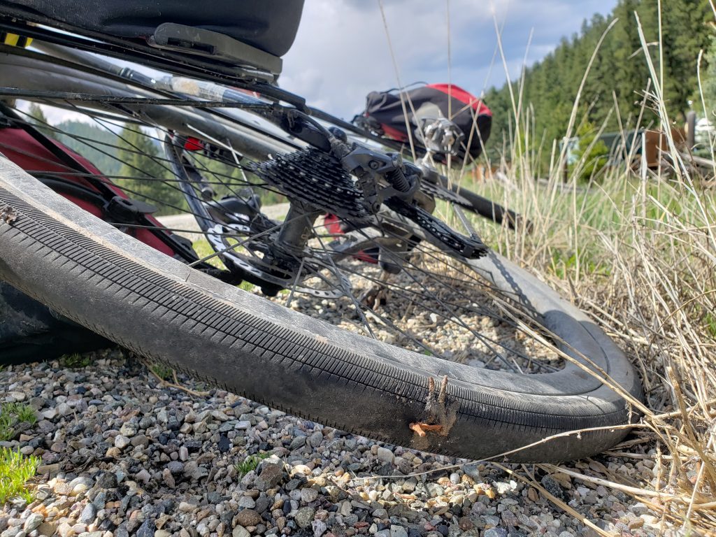
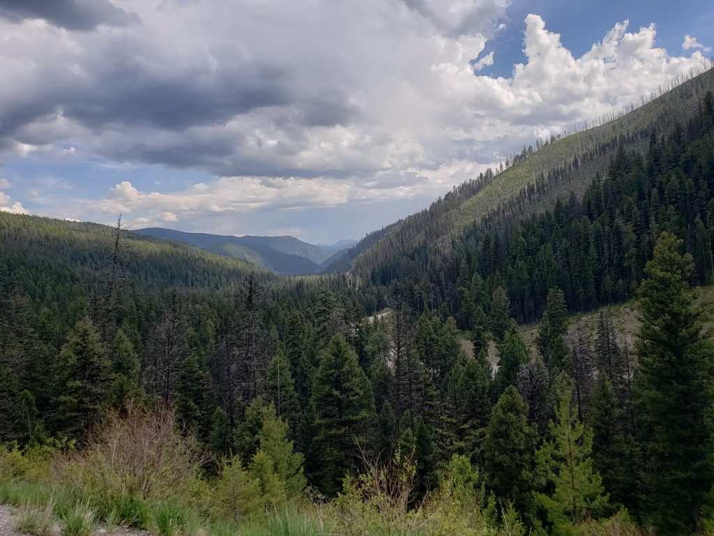
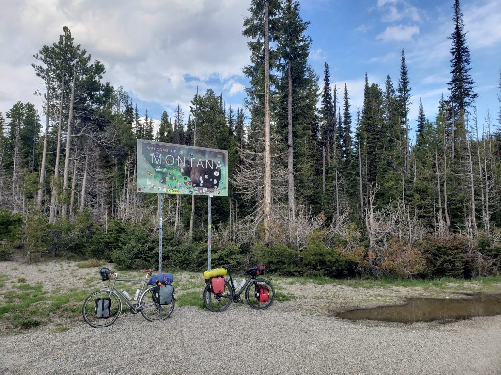
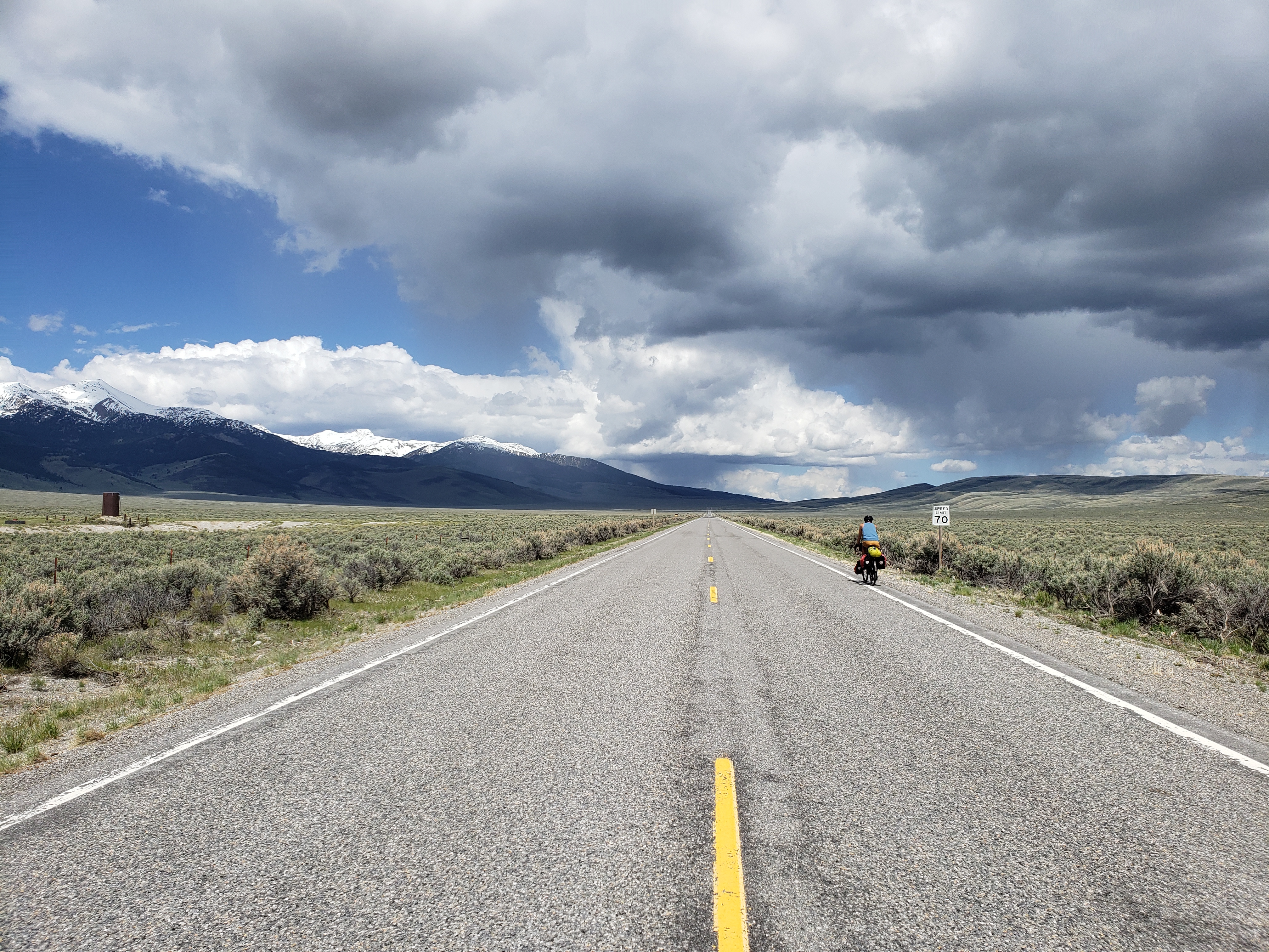
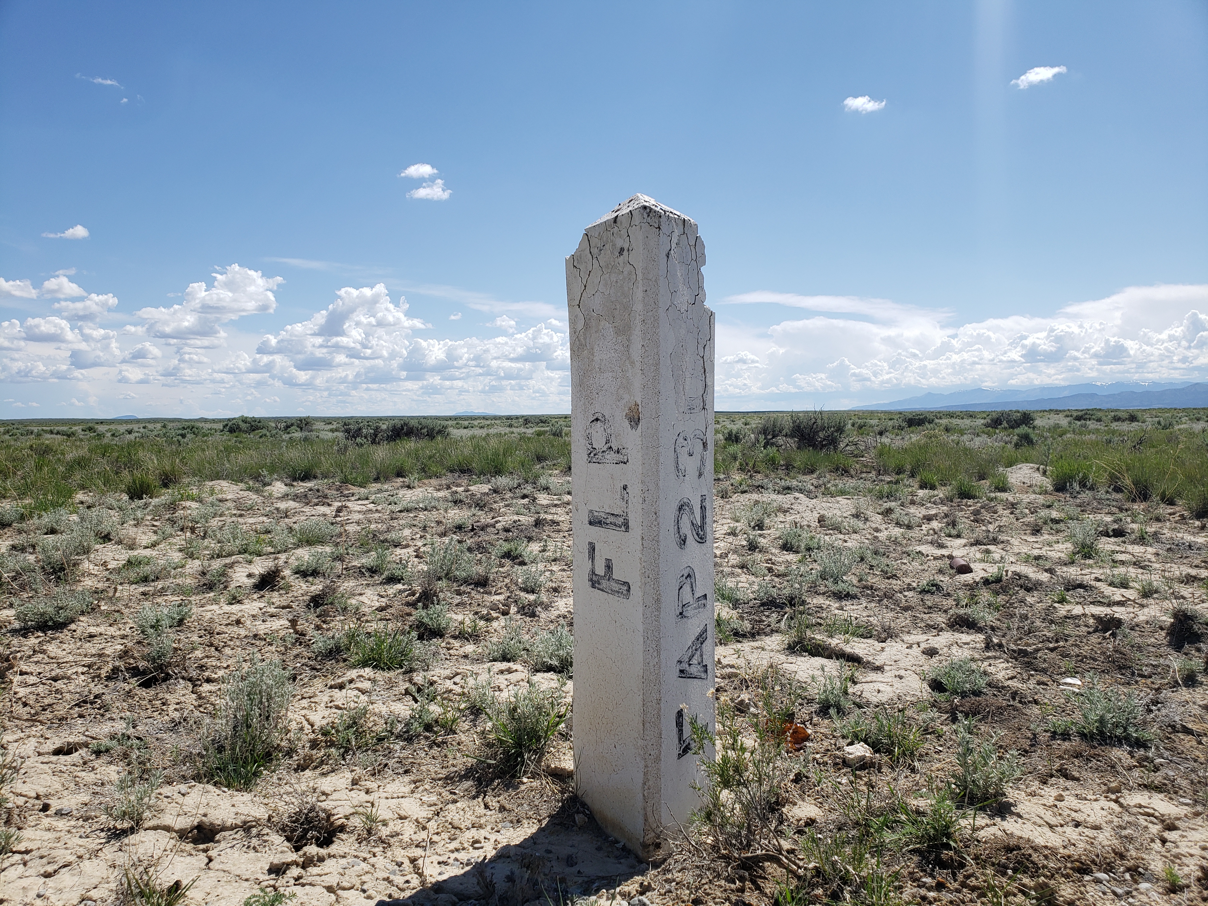
Between North Fork and Montana is 3,500 feet of climbing up to a pass over 7,000 feet. We hadn’t had a climb like this in a while – a long winding climb deep into pine-covered mountains. The road was well graded and the temperatures thankfully didn’t get too hot. Donald got another flat on his rear tire and one spot is now comically full of a whole slew of tire plugs. Up and up we went, finally reaching the pass at the Idaho-Montana border.

We crossed over into Bitterroot National Forest and began our long descent down twisting mountain roads. On our way down the other side of the pass we ran into a touring cyclist pedaling up the other side! His name was Matt and he was coming from SF through Portland, Oregon and then over to Portland, Maine. We spoke for a while and went on our separate ways.

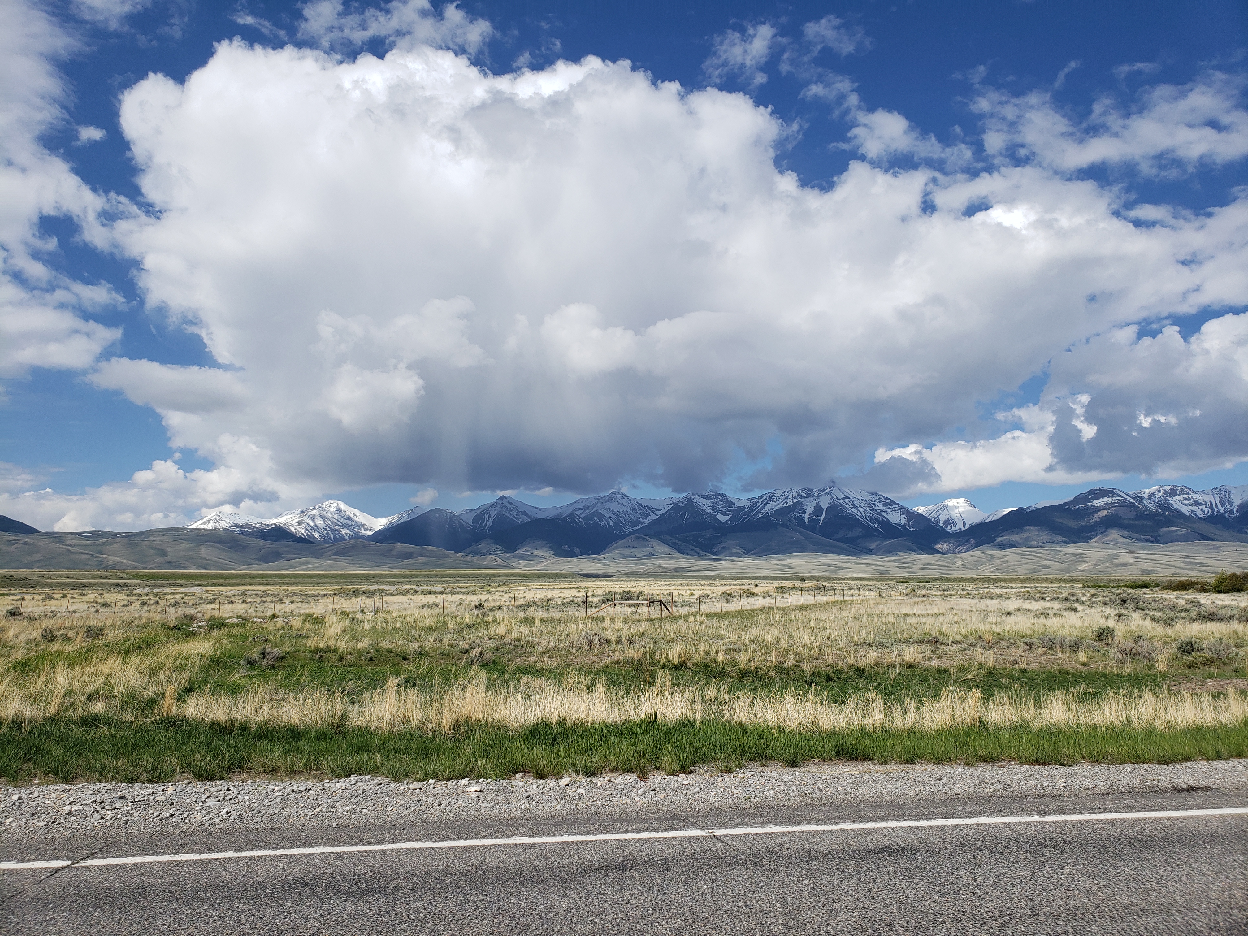
The road opens up into an idyllic valley. The soothingly sculpted verdant hills on all sides of the valley are dotted with pine trees as a stream rushes through with sparkling water. Log cabins and farms appear and disappear on either side of the road and snow-capped mountains are visible in the distance. The kind of place that makes you just want to stay forever. To relax, and maybe also run to the top of every peak in sight.

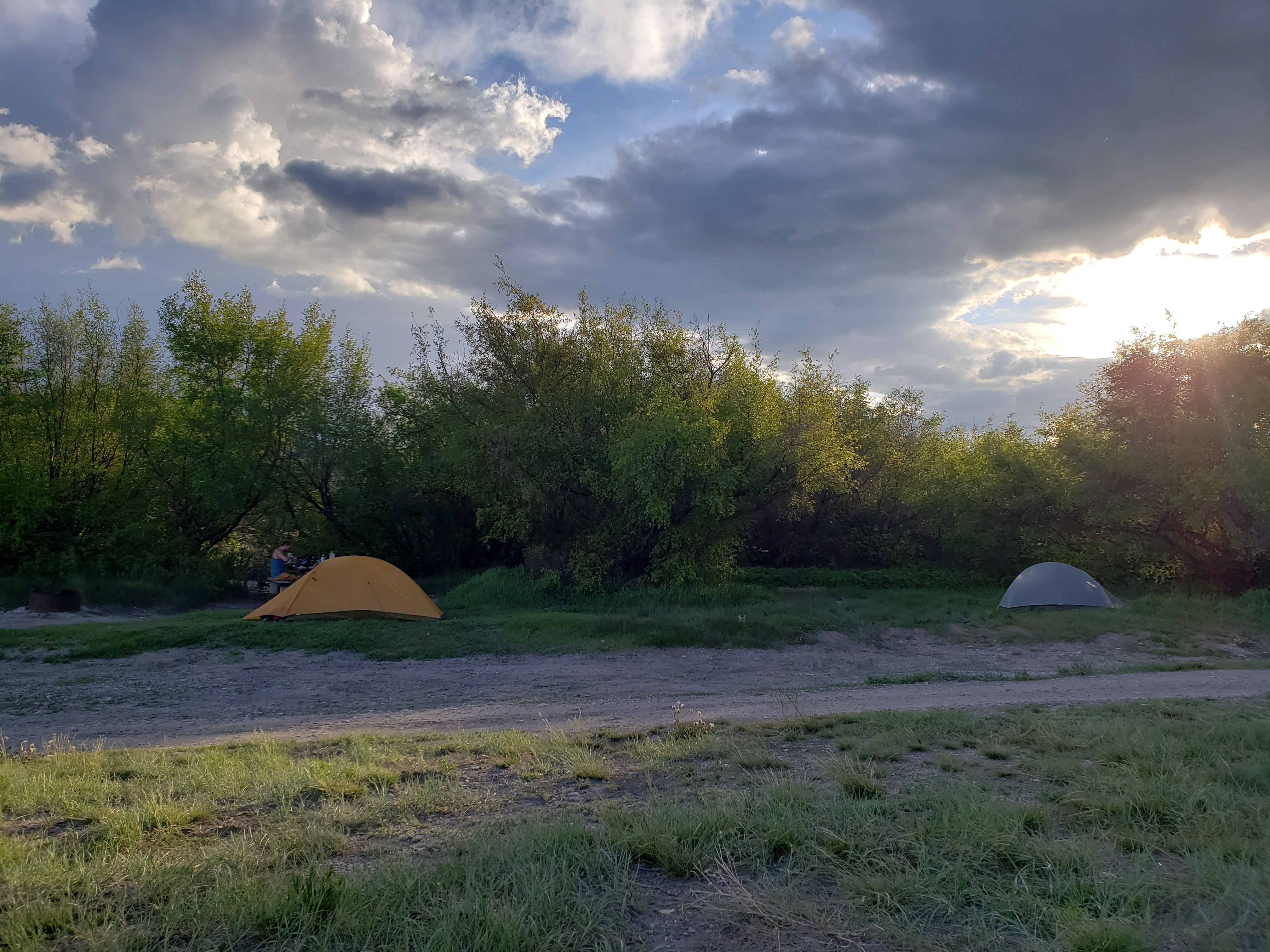
But the valley doesn’t last forever. Before long we passed through the “town” of Sula and left the valley, following the Bitterroot River through a winding canyon and a family of mountain goats eyed us warily as we passed by. A few miles and we arrived at our campground. I was very excited to try my dehydrated meal from a new company – ginger chicken stir fry from Trailtopia – but it wasn’t very flavorful.

Notes from Donald: “Today was our final new US state day! A parting surprise from Idaho was a coyote running across the road directly in front of us. Camping along the Bitterroot river was really nice.”

Today’s mileage: 62 miles

Total: 1795 miles

Day 34: Birch Creek Campground, ID – Salmon, ID

A warm and sunny morning. The road from Rexburg to Salmon is over 160 miles and we only managed 60-some yesterday, leaving us with a lot of ground left to cover. It’s a gentle ascent in the morning followed by many miles of slight downhill.

Right before reaching the 7200 foot pass it started raining – there was no break at the top – we just kept pedaling to try and outrun the storm. A strong tailwind kicked up and brought us to the town of Leodore, home of the only store and motel on this lonely road.

It turns out that a restaurant does exist in town! It’s run by a very friendly and very talkative grandmother who tells us her life story of growing up in Washington state, moving to Idaho twenty-four years ago and buying and running this restaurant and bar. The Continental Divide Trail runs in the mountains parallel to this road and so hikers often come into town to resupply and have a meal. Lots of opinions are dispensed.

Back on the road and our tailwind from the morning had disappeared but it was another two thousand feet of downhill to Salmon so progress was still rapid. The road follows the Lemhi river down through the valley, crossing it a multitude of times. Many of the bridges crossing the river are under construction and one lane of the road is closed so we wait patiently at each one for the temporary traffic light to turn green.

The day gets very hot and we take breaks wherever we can find shade. Every few miles there are interpretive signs on the roadside explaining how the Lewis and Clark expedition came through here and met Sacajawea, and recalling other tales of the early settlers and their conflicts with the natives.

After a long sweaty afternoon we finally arrive in the town of Salmon. The Salmon river is wide and runs swiftly through the center of town. Because this is the largest town we’ve seen in a while I was assume it’d be doing well economically, but there are many shuttered businesses on main street. The restaurants that are still open seem to have lots of business though – we get dinner at a brewery and spend the evening planning for the days ahead.

Notes from Donald: “The tailwind going to Leodore was awesome and so was the corned beef at the restaurant. Also cool was the pair of bald eagles that flew over us on the way to said corned beef.”

Today’s mileage: 95 miles

Total: 1733 miles

Day 33: Rexburg, ID – Birch Creek Campground, ID

The road out of Rexburg is flat. Farmland turns to dry sage and back again on the way west as we hear popping noises from a couple shooting ranges on either side of the road.

While stopped for a break a cyclist pedaled by. From a distance he looks like a local road cyclist, but once he gets closer it turns out he’s a bike-packer – on a trip with lightweight luggage. We wave and expect to chat about where he’s coming from and headed towards, but he simply waves and keeps on cycling away from us. Strange – touring cyclists normally stop to chat.

Another few miles lands us at the town of Terreton – the only resupply point for the day. Google said there weren’t any restaurants in town but there’s a clearly marked grill. We approach the building and a man comes out and informs us that it’s no longer a grill – he now lives there. Gas station food it is – at least the gas station in town has a deli in it.

While eating lunch a cyclist shows up, then another! Turns out there’s a self-supported cross country bike race going on now – “Bike nonstop US”. The riders are about a week in and expect it to take a month total. We chatted with one of the cyclists for a few minutes and headed our separate ways.

Back on the road and we turned onto highway 28. While the road in the morning was relatively flat, there still were occasional rolling hills. But not here. Twenty-two miles of perfectly straight road lay ahead, arcing slightly upwards towards the mountains. At first the sight of such a straight road was entertaining, but between a headwind and the slight elevation gain riding became a chore. The day was hot and the only trees in sight were on the mountains lining either side of the valley. We finally stumbled upon a road sign large enough to cast some shade and rested amongst the gravel, grass, and shards of broken glass.

More straight roads and hot sun and we arrived at the Birch Creek Campground. We were expecting to make it past this point but with the heat and the monotony of the road we call it a night here and set up camp.

Notes from Donald: “Today was kind of boring. It was hot and flat and straight. But we found a nice campsite next to the creek.”

Today’s mileage: 67 miles

Total: 1638 miles

Day 32: Jackson, WY – Rexburg, ID

We stopped by a mountaineering store for some bear spray before heading west towards Idaho. On our way into town the weather was cold and rainy, but it was warm and sunny today as we made our way through the large network of bike paths leading out of Jackson. Unfortunately bike paths never have very good signs and we made a wrong turn and wound up going 3 miles in the wrong direction before realizing it. Oh well, extra mileage.

Between Jackson and Idaho lies Teton Pass at 8300 feet and the old road to the pass has been converted into a bike path. This is convenient as the road to the pass averages a grueling 11% grade for the whole 2000 feet of gain – which would be much less enjoyable with cars whizzing by. To put this in perspective, a typical highway pass will usually have a grade of about 6% with some segments of 8% or rarely 10%. Today I was in my lowest gear for nearly the whole climb as the road switchbacked up the steep mountain through recently plowed snow.

After two or three flats for Donald (depending on how you count) we reached the pass and descended into Idaho. The weather turned cold and by the time we reached the town of Victor for lunch our hands were freezing. The Thai restaurant in town is surprisingly good – not just serving typical American Thai fare but rather a whole slew of interesting dishes. Highly recommended.

As we left the restaurant a light rain began to fall and the rain jackets once again made their way out of panniers. We had our sights set on the town of Rexburg for the night and it was still another 55 miles to go so we kicked it into high gear.

The land here is flat and we were able to make good time. Lots of farmland on either side of the road and the occasional spilled tuber on the shoulder reveals the purpose of these farms – Idaho potatoes! Before long I got a flat tire – collectively our fourth of the day –  from a defective tube this time. The sun dipped lower in the sky and we raced to make it to town before nightfall.

We passed a sign for the Teton Dam Marathon and I began formulating plans for how I might run the race in the off chance that it’s happening tomorrow. I’d want to run only a half marathon not a full, otherwise we’d need to take a rest day. And I have shoes, socks, and shirts but no running shorts so there’d need to be a retail store open late that sells them. And it should start before 7:30 am so we can still get on the road in time. But otherwise, it should be doable.

We arrived on the outskirts of Rexburg and began calling motels seeing which ones had availability. Most places were sold out – turns out the marathon *was* happening tomorrow and that’s why all the rooms were booked! But we got the worst of both worlds – most of the motels were booked and only one motel on the outskirts of town had a room for the night, but the registration for the race closed 3 hours earlier so I wouldn’t be able to attend. Next time!

We found our room and ate at the Applebees across the street. It had been many years since I had eaten at a restaurant like this and I was curious what I would think of it now. It was a true embodiment of American mediocrity.

Tomorrow we head onto Idaho 28 which has exactly one gas station and lodge in 140 miles. I’m not expecting much cell reception so I’ll check in when I can.

Notes from Donald: “Today was another flat day. Just kidding! Teton Pass was very steep. I’m sure it will get boring if it lasts but for now I think the rolling hills of the farmland are pretty.”

Today’s mileage: 88 miles

Total: 1571 miles