More sun! After a morning of making arrangements for a bike tune-up in Missoula we headed north on highway 93. The shoulder was an immediate disappointment – only 6 to 12 inches wide with much higher traffic volumes than yesterday.
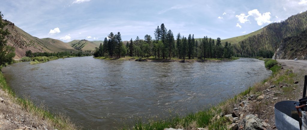
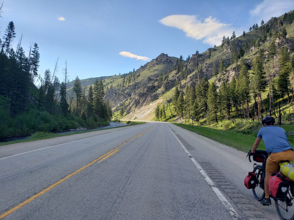
The road follows the Salmon river downstream and the river’s gentle twists and turns create a pleasant ride as we crossed into Salmon-Challis National Forest. Before long the river valley narrowed to a canyon and more pine trees began appearing on either side of the banks – entering alpine territory once again.
The town of North Fork lies, imaginatively, where the North Fork of the Salmon River meets the main river. We stopped by the sole cafe in town to find they’re not serving any hot food, just ice cream and pie.
Our lunch of ice cream and apple pie was delicious and we overheard stories of small-town drama from the locals stopping by the store for a chat. Outside the cafe a storm is brewing and we hit the road to try and outrun it. As is usually the case, our attempts were futile and a few miles later we were soaked. Luckily the rain lasted not even half an hour, and the warm weather kept us from getting too cold.
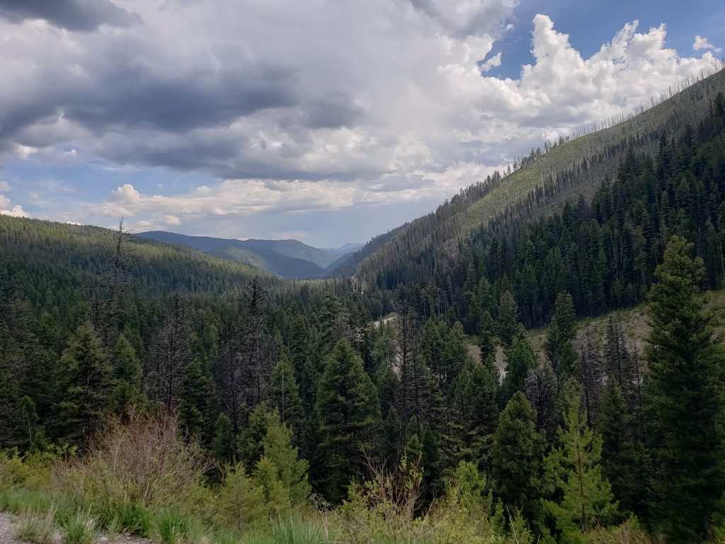
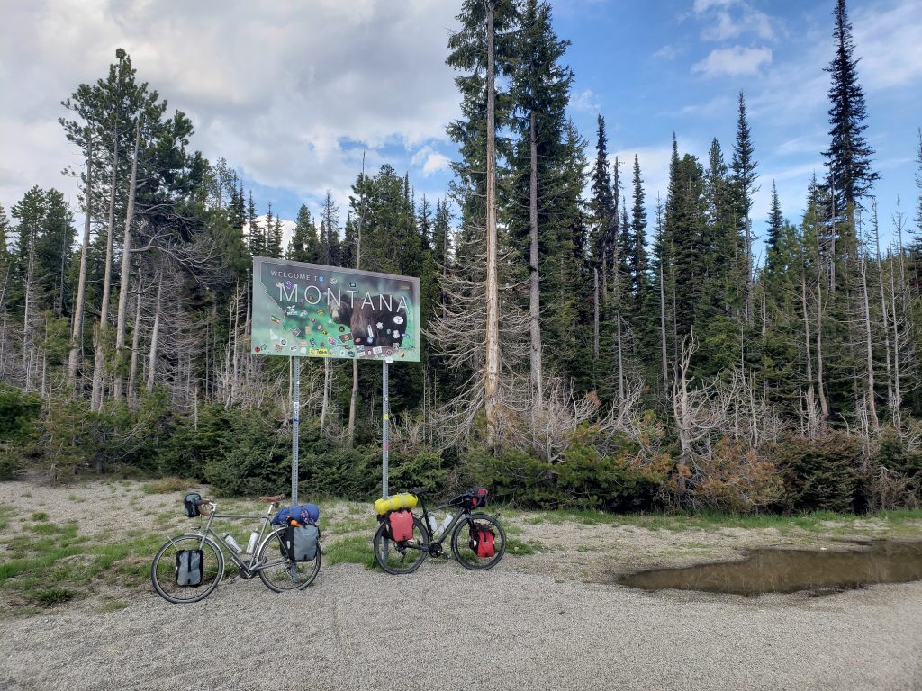
Between North Fork and Montana is 3,500 feet of climbing up to a pass over 7,000 feet. We hadn’t had a climb like this in a while – a long winding climb deep into pine-covered mountains. The road was well graded and the temperatures thankfully didn’t get too hot. Donald got another flat on his rear tire and one spot is now comically full of a whole slew of tire plugs. Up and up we went, finally reaching the pass at the Idaho-Montana border.
We crossed over into Bitterroot National Forest and began our long descent down twisting mountain roads. On our way down the other side of the pass we ran into a touring cyclist pedaling up the other side! His name was Matt and he was coming from SF through Portland, Oregon and then over to Portland, Maine. We spoke for a while and went on our separate ways.
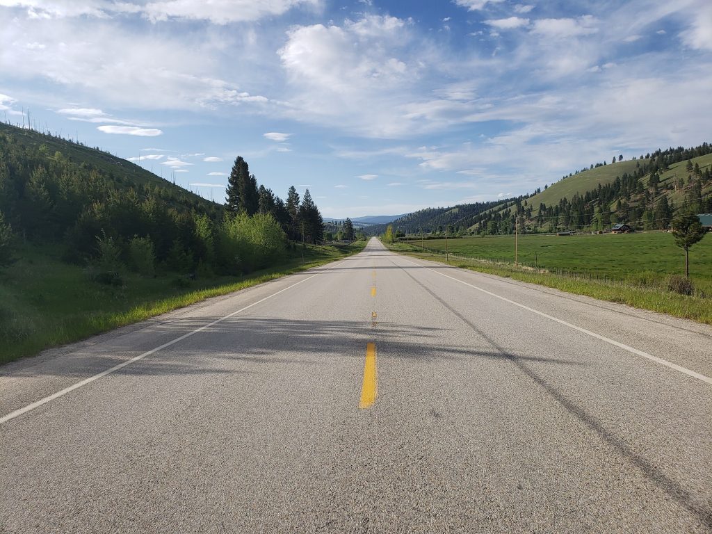
The road opens up into an idyllic valley. The soothingly sculpted verdant hills on all sides of the valley are dotted with pine trees as a stream rushes through with sparkling water. Log cabins and farms appear and disappear on either side of the road and snow-capped mountains are visible in the distance. The kind of place that makes you just want to stay forever. To relax, and maybe also run to the top of every peak in sight.
But the valley doesn’t last forever. Before long we passed through the “town” of Sula and left the valley, following the Bitterroot River through a winding canyon and a family of mountain goats eyed us warily as we passed by. A few miles and we arrived at our campground. I was very excited to try my dehydrated meal from a new company – ginger chicken stir fry from Trailtopia – but it wasn’t very flavorful.
Notes from Donald: “Today was our final new US state day! A parting surprise from Idaho was a coyote running across the road directly in front of us. Camping along the Bitterroot river was really nice.”
Today’s mileage: 62 miles
Total: 1795 miles
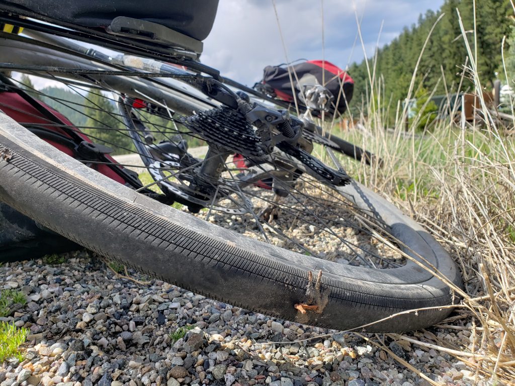
What is that stuck on the tire? It looks like chicken feet @@
Do you do Q&A? Could your tell us more about your morning routine getting ready for a long day? It’s hard work so I am curious what’s you two’s ritual:)
The “chicken feet” on the tire are tire plugs which can patch holes in tubeless tires. Much faster than having to take the tire off the rim to replace a tube, but as you can tell, once a hole in a tire starts getting big the plugs seem to be less effective.
I’ll try and cover our morning routine in a post soon. Mainly entails avoiding getting ready for as long as possible.