Day 51: Gunnison, CO – Montrose, CO

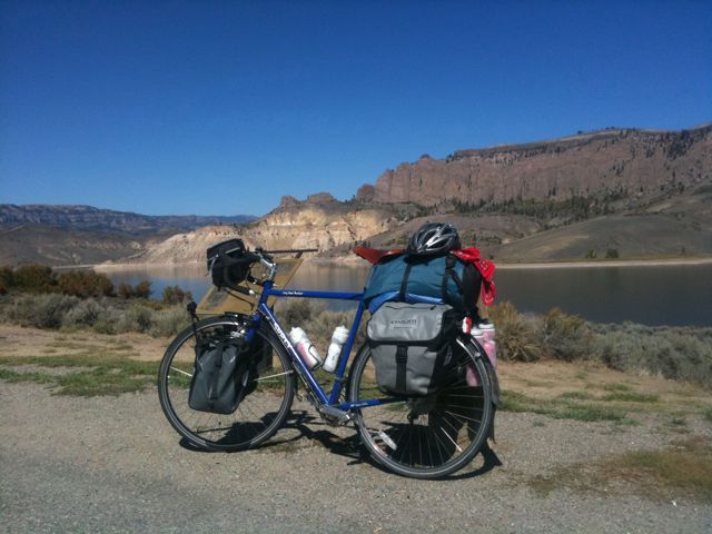
Last night I got a flat in my front tire while biking around Gunnison, so I went to replace the tube first thing in the morning only to find it was a faulty tube, so I had to replace it again. I stopped by the local bike shop on the way out of town for some more tubes, then headed west.

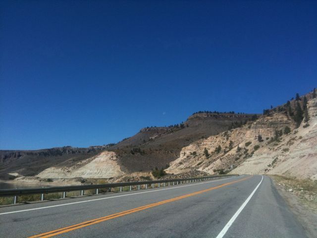
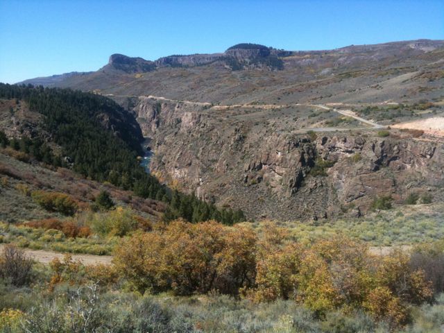
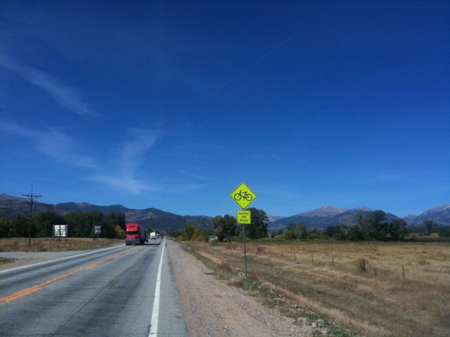
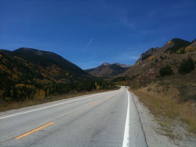
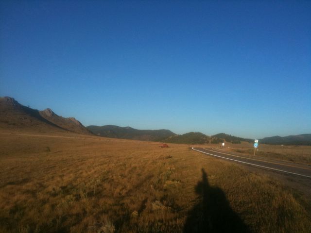
Today I just followed route 50 the entire day. For the most part it had nice shoulders, but there were some dangerous sections where the shoulder disappeared and the road had tight curves. Luckily that was right after a construction zone so the cars came in packs every few minutes and I just pulled over to let them pass before continuing.

So far on my trip I haven’t had too much trouble dealing with being on the road alone, but today it hit me kind of hard and got pretty bummed out. If I am to make it to Anaheim on October 22nd though, that means just over 3 more weeks left. It’s not just the desire to go to a nerd convention though. Don’t care at all about that actually, I just want to be there to see people. This trip is definitely taking it’s toll physically and mentally on me in all sorts of ways. And so while I don’t want it to end, I’m also ready to see the Pacific.

Speaking of which, I’ve been looking over my maps and the Adventure Cycling Association’s routes through Utah and Northern Arizona seem very indirect. Not only that, they seem kind of poor routes, going up to 75 miles without any towns or services. So I may cut southwest once I enter Utah in order to save myself 3 or 4 hundred miles of riding at the expense of not visiting the Grand Canyon. I think I can live with that.

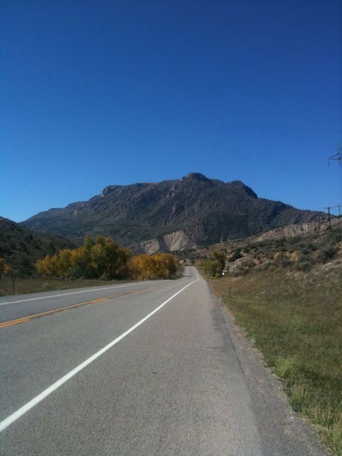
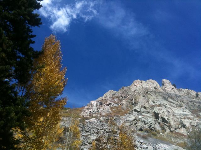
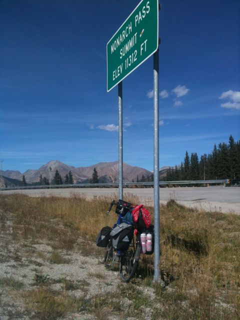
But anyways, today I had a couple 1000 foot climbs which is definitely nothing to sneeze at, but the day was more downhill than uphill and I wound up at the town of Montrose at 6000 feet elevation. Tomorrow looks to be a relatively challenging day with a 3000 foot climb, but hopefully I will be able to knock it out.

Today’s mileage: 69 miles.
Total: 2664 miles.

Day 49: Salida, CO – Gunnison, CO

Today was going to be the big day – I had the longest single climb and highest elevation of my trip ahead of me. So I stayed up late and didn’t get much sleep.

After a big late breakfast I got on the road at 11. The first 10 miles were a gentle uphill. I think. I thought I was going on flat ground but my speed was slower than it should have been and I gained a fair amount of elevation so I must have been going up. I often have this problem, being unable to tell if I am going up or down.

Anyways, the climb started in earnest after a bit and I slowly churned out the miles, going maybe 7.5 mph. I stopped once every few miles for water and to reapply chapstick, but it wasn’t nearly as arduous as my ride two days ago.

As I kept going, my pace slowed down slowly to 5.5 mph by the top, but I did reach the pass at 11312 feet with energy to spare for a final sprint when I could see the summit.

I took some photos, ate some food, and hung out in front of the department of transportation’s webcam to get a shot of myself at the top. Met a couple touring on a motorcycle and talked to them for a bit before heading down.

I was trying to make it to the town of Gunnison and had another 42 miles to go. It was a steep downhill ride for about 10 miles, after which the terrain flattened out. There was still a gentle down slope for much of the way but a stiff headwind kept me from being able to take advantage of it.

I arrived in Gunnison at sunset and found a motel. Went out in search of dinner and met a couple cool people at the local brew pub. Stayed up way too late and so I’ll be taking the day off tomorrow.

Today’s mileage: 64 miles.
Total: 2595 miles.

Day 48: Westcliffe, CO – Salida, CO

After the terribleness of yesterday, I decided today would be a short day.

I set off at about 10:30 and my route took me north, paralleling the Sangre de Cristo mountain range. I was now in a valley in the rockies and the first half of my day was mostly downhill – I had climbed 4000 feet yesterday but only gone down a bit over a thousand so the valley floor was lower still.

I reached the Arkansas River and turned onto route 50, which followed the river upstream. It was a very beautiful ride, with tall cliffs on both sides.
Before long I reached Salida and called it a day.

Today’s mileage: 49 miles.
Total: 2531 miles.

Day 47: Pueblo, CO – Westcliffe, CO

After a night of fitful sleep, I packed up, grabbed lunch, and got on the road at 11:30 or so. I found my way to the start of the Adventure Cycling Association’s “Western Express” route and headed west.

The road started out with a nice shoulder, but it dwindled away over the course of 10 miles. My progress was pretty slow, even on the flat sections, which I attribute to my late night drinking and lack of sleep. My planned second lunch fell through when the only place to eat in the town of Wetmore didn’t open until dinnertime, so I ate a clif bar and moved on.

There were a few big hills in the first 30 miles, but nothing that would prepare me for what was ahead. I had looked at my map but the true magnitude of the day didn’t hit me until it was upon me: a four thousand foot elevation gain, most of which was crammed into a never-ending hill that took me above 9000 feet.

I started out climbing at maybe 7 mph, and had about 14 miles until the top, with roughly 3000 feet altitude to gain. My progress quickly slowed to more like 5mph as I slowly and arduously biked up the mountain. It was very tough and I found myself stopping maybe once every 2 miles. About halfway up I pulled over and sat down and rested for nearly an hour, probably getting some sleep.

I continued on after my rest but my pace didn’t quicken nor did it get any easier. Sweat was pouring down my face and massive salt lines developed. My helmet’s straps turned pure white from all the salt.

I got a terrible cramp in my left calf after a couple more miles and I pulled over, stretched, changed the album I was listening to, and rested for a few minutes. After this break, my speed hastened to 7.5-8mph which I was able to sustain for the last 5 or 6 miles.

As I reached the top I lost my focus and my speed plummeted and legs grew tired for the last minute, but I eventually got to the pass at about 9200 feet. I was slightly disappointed by the lack of an elevation sign. Looking over my map, this appears to be the second longest climb of my trip, with only the Monarch Pass being slightly longer and steeper. But nothing could keep me from being ecstatic that I had finished the climb.

I wound my way down the other side which was much less steep than what I had ridden up and got to the town of Westcliffe, CO, ate dinner, and found a motel.

Today’s mileage: 58 miles.
Total: 2482 miles.